Summer Abstract and Fine Arts and Collectibles Auction
Lot 91:
Description
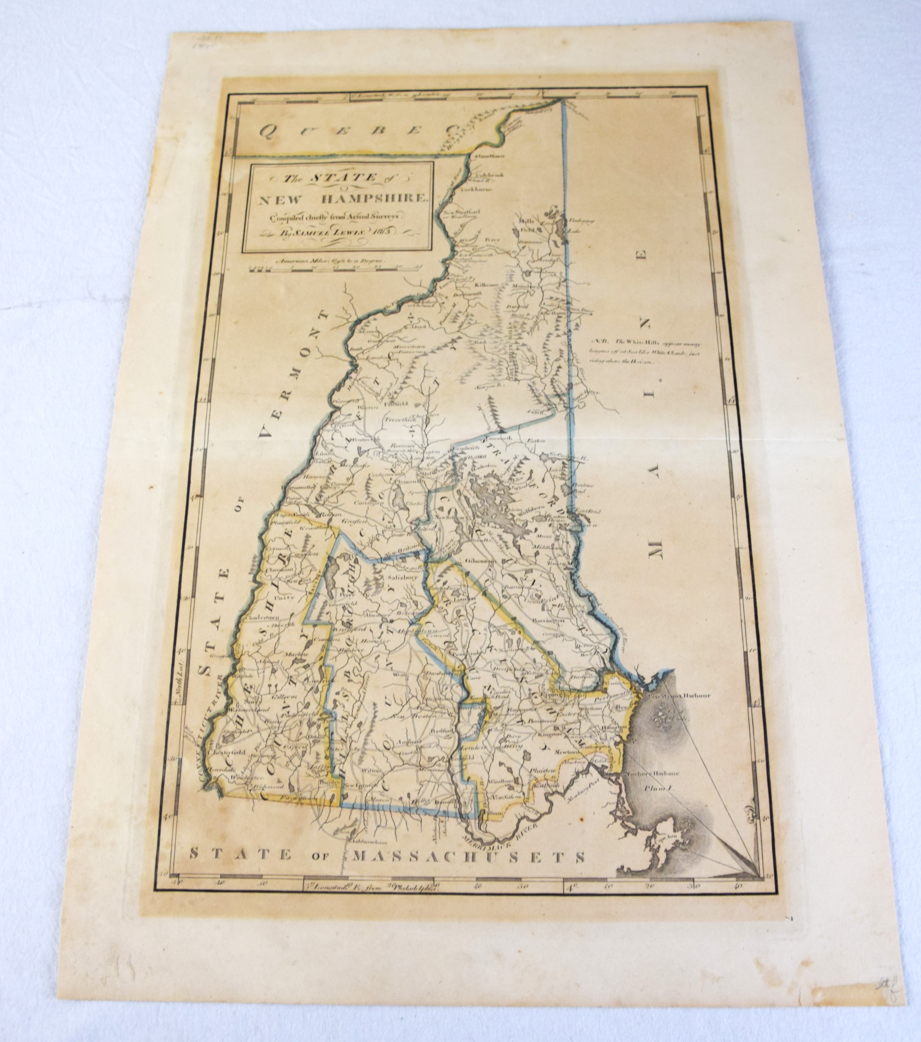
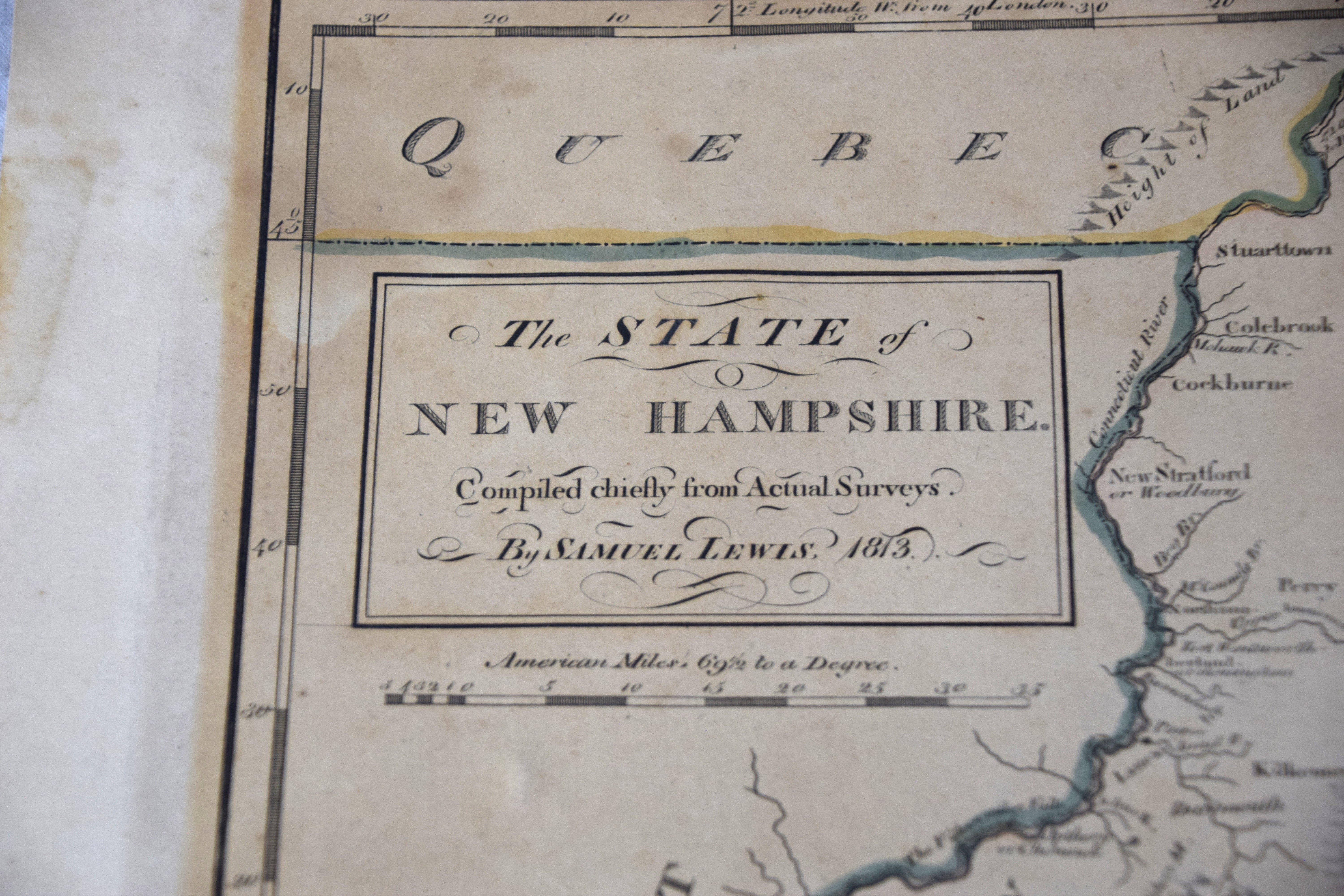
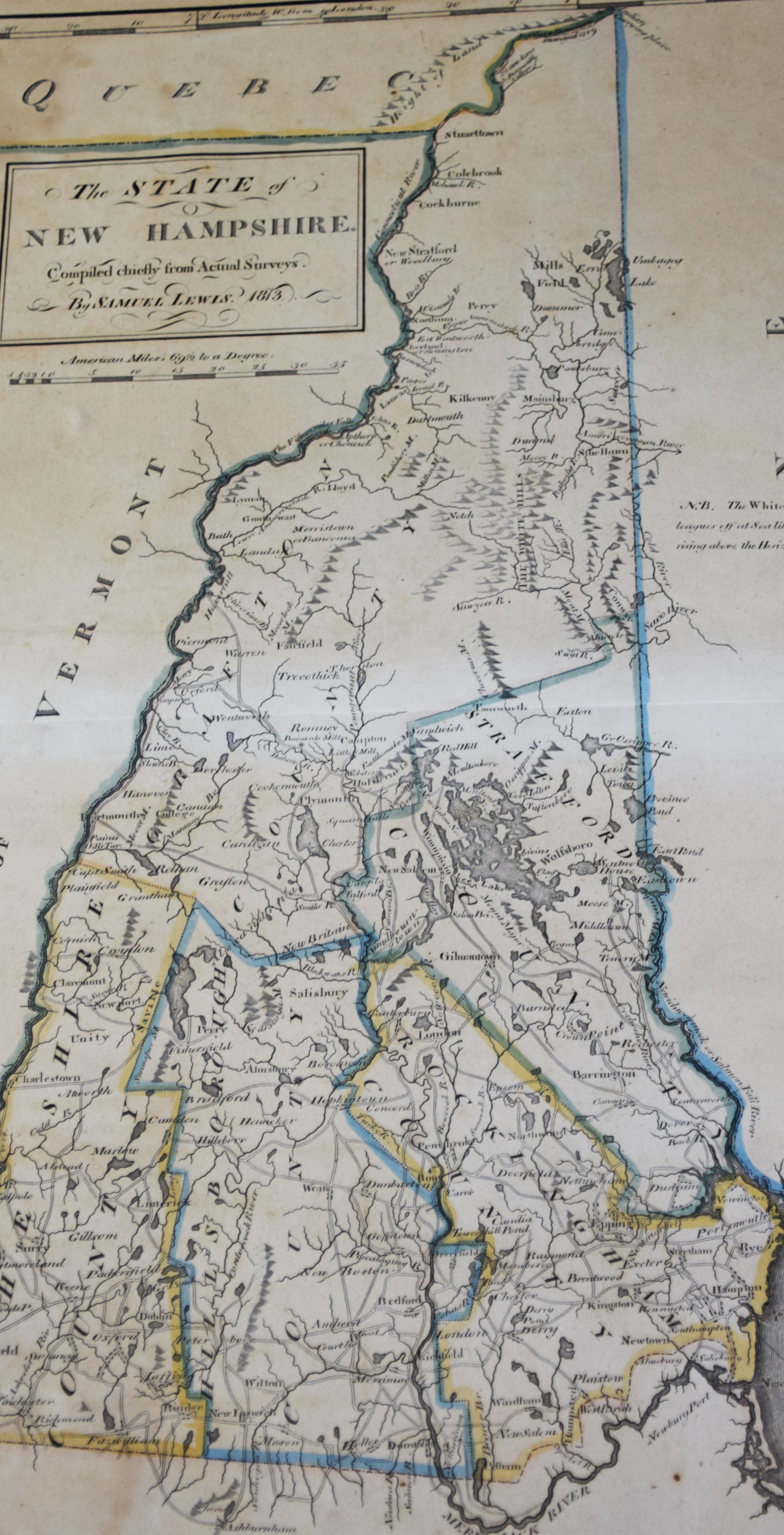
Mathew Carey’s “The State of New Hampshire compiled chiefly from actual surveys by Samuel Lewis in 1813” which first appeared in his American Atlas. The map is minutely detailed, showing mountains, towns, rivers, roads, counties, colleges, mills, forts, islands, coastal features, topography and other information. A note to the right of the White Hills [Mountains] in the northern part of the state reads “The White Hills appear many leagues off at sea like White Clouds: just rising above the horizon,” a reference likely to Mt. Washington. Other notes within the map include “Indian Carrying Place”. In 1814, Mathew Carey became the became the first American publisher to offer hand colored maps in his atlases. This map of New Hampshire is from an 1816 edition of his General Atlas. Dimensions 11 x 17.625
Condition report:
Very good condition, folds
Share this lot: