Summer Abstract and Fine Arts and Collectibles Auction
Lot 107:
Description
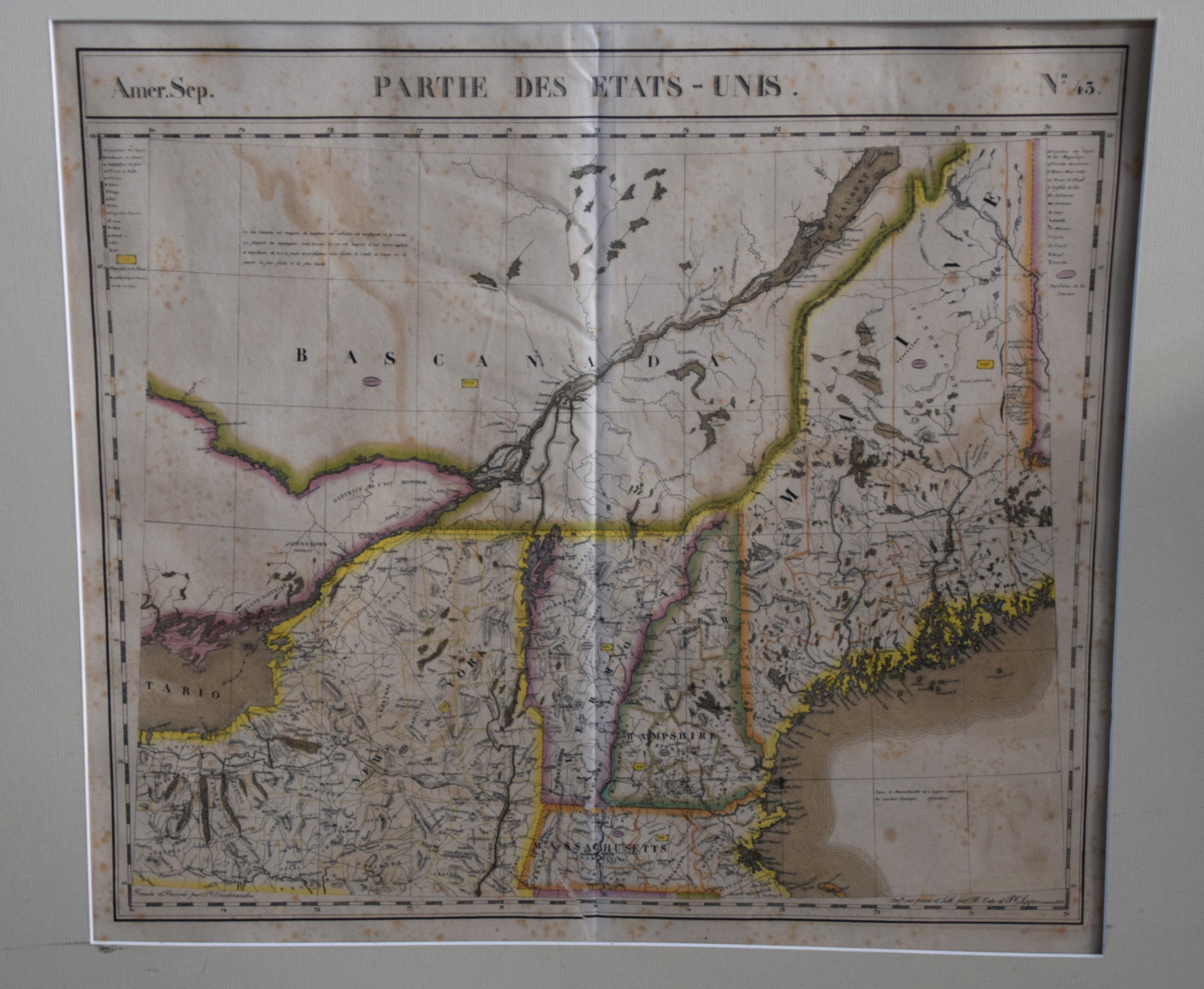
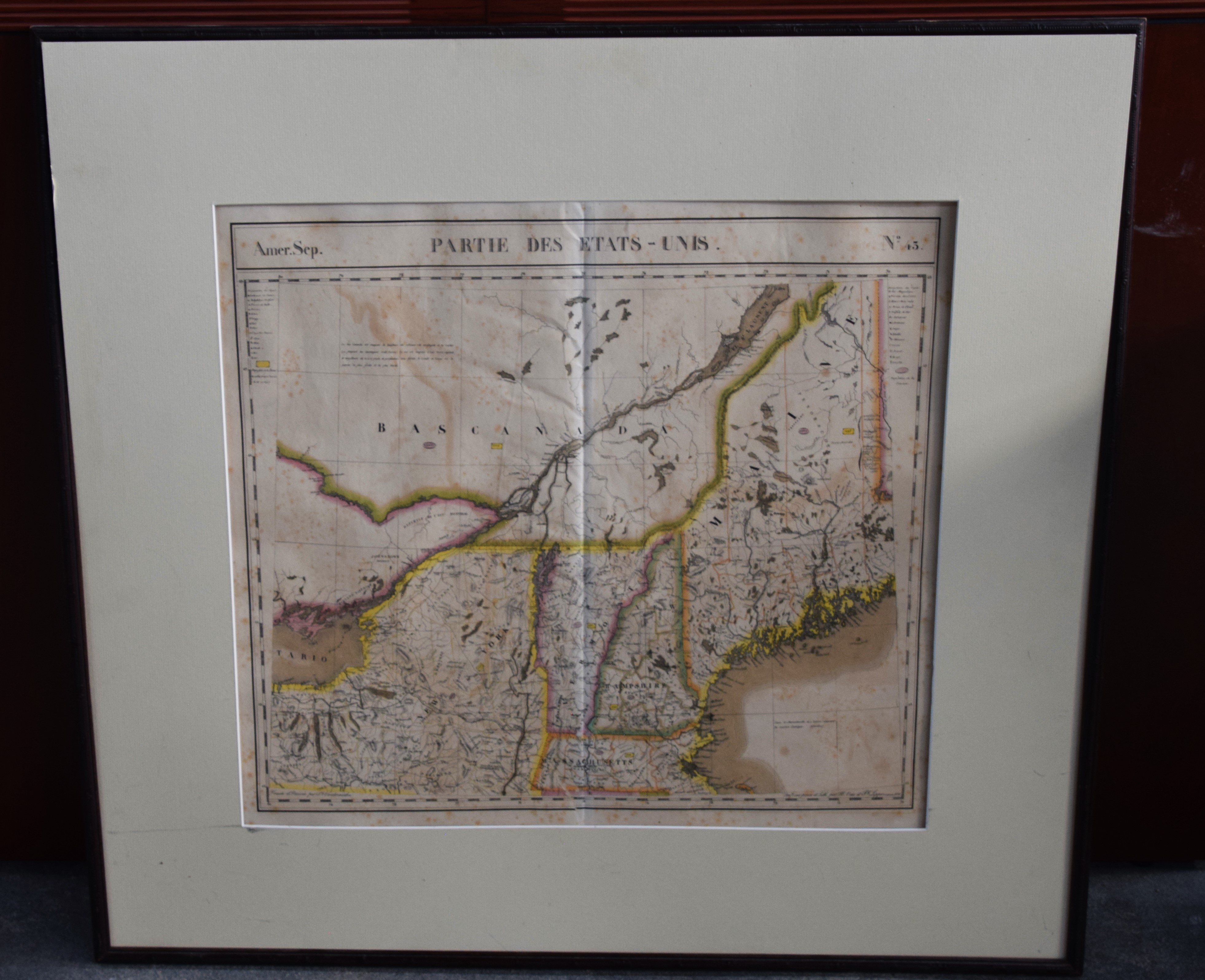
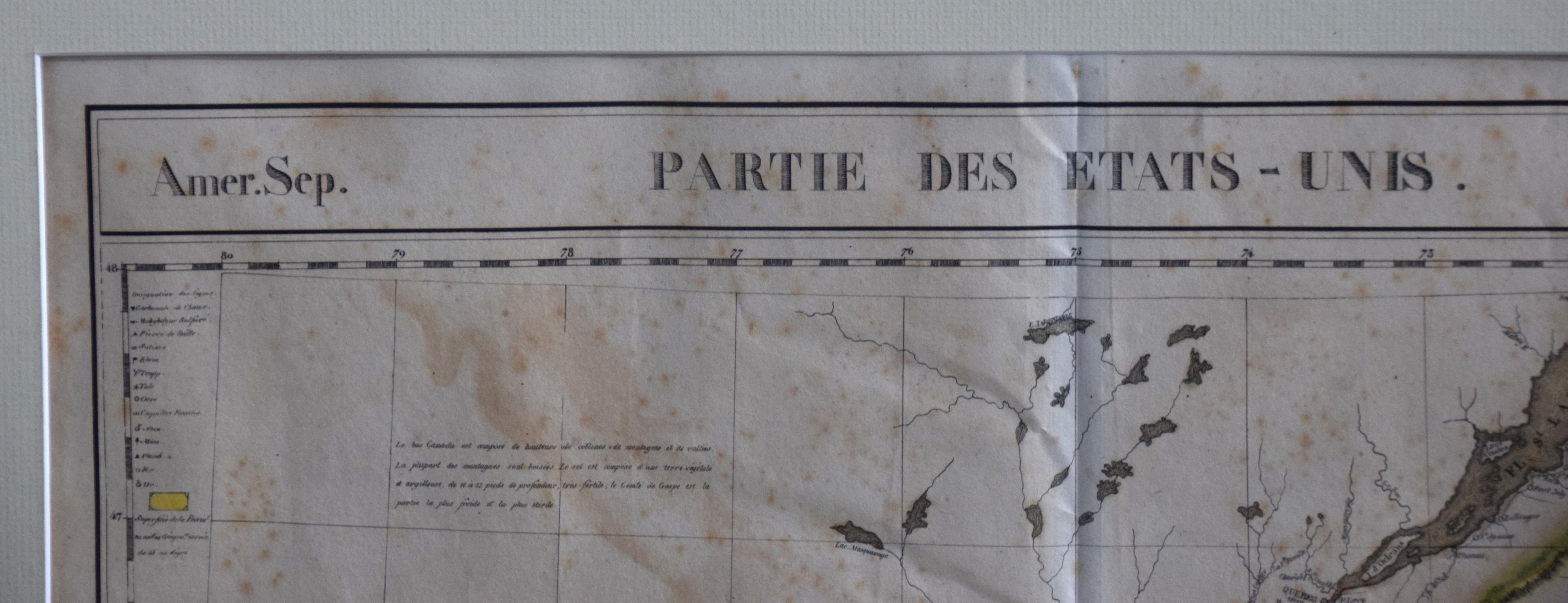
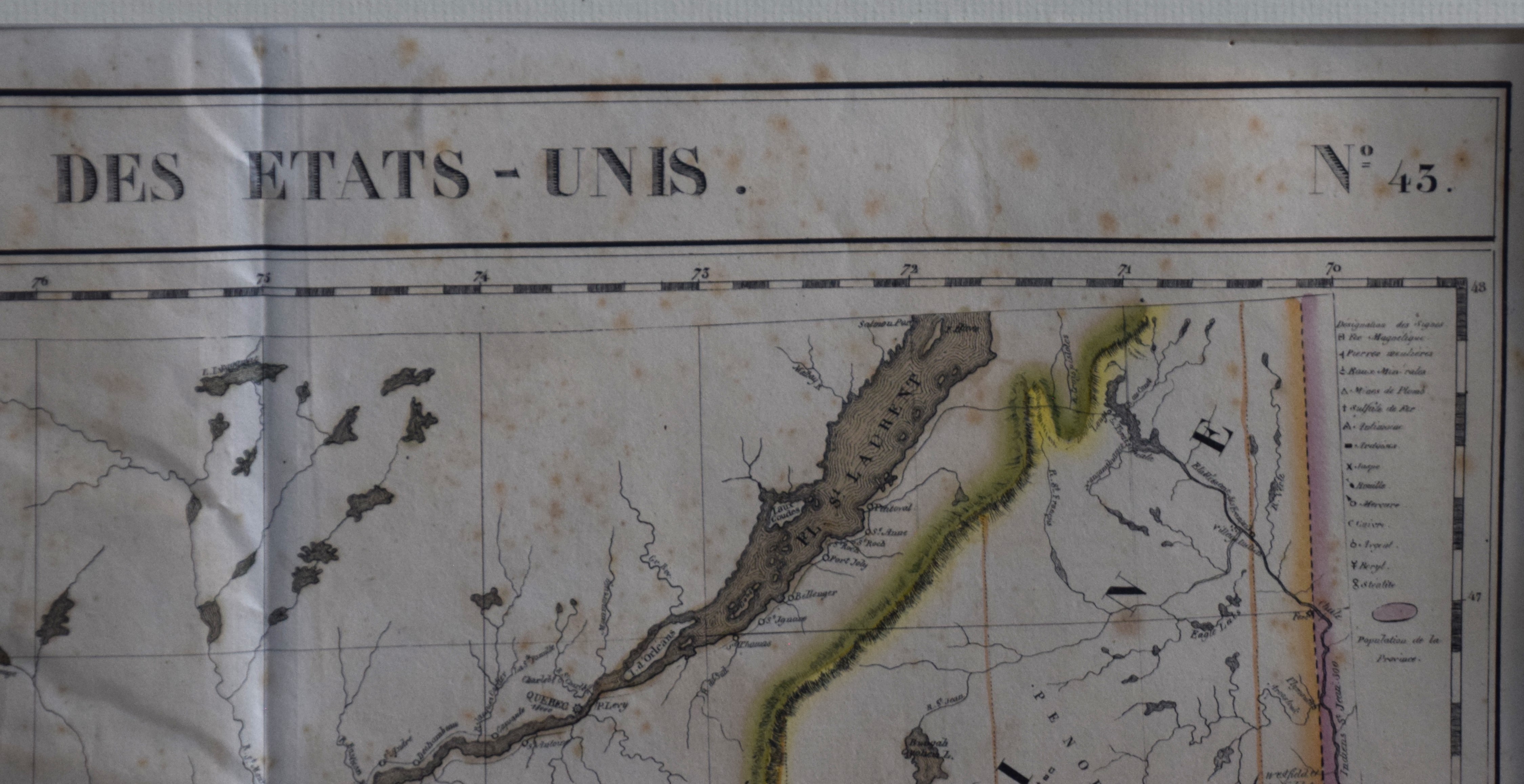
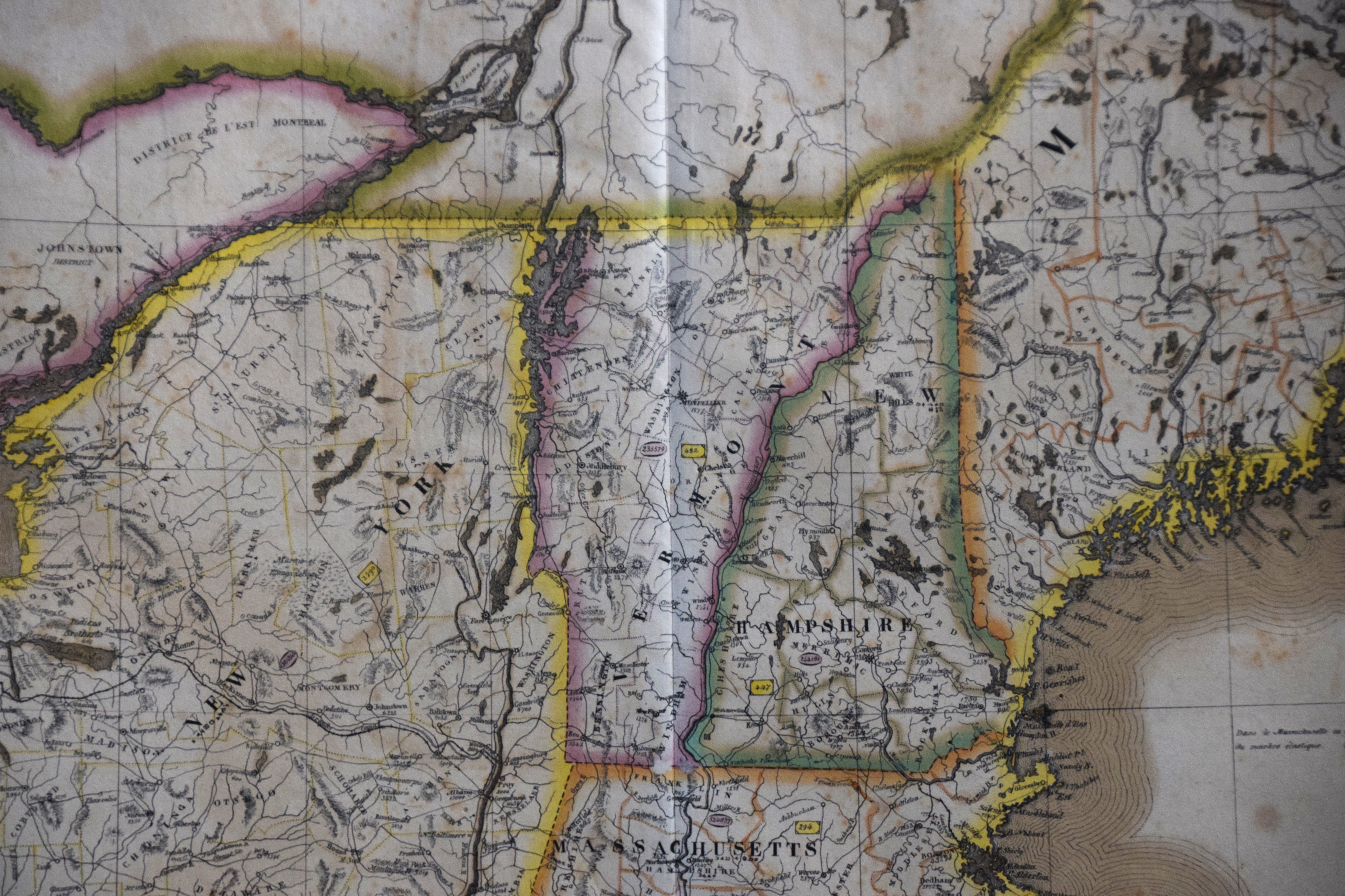
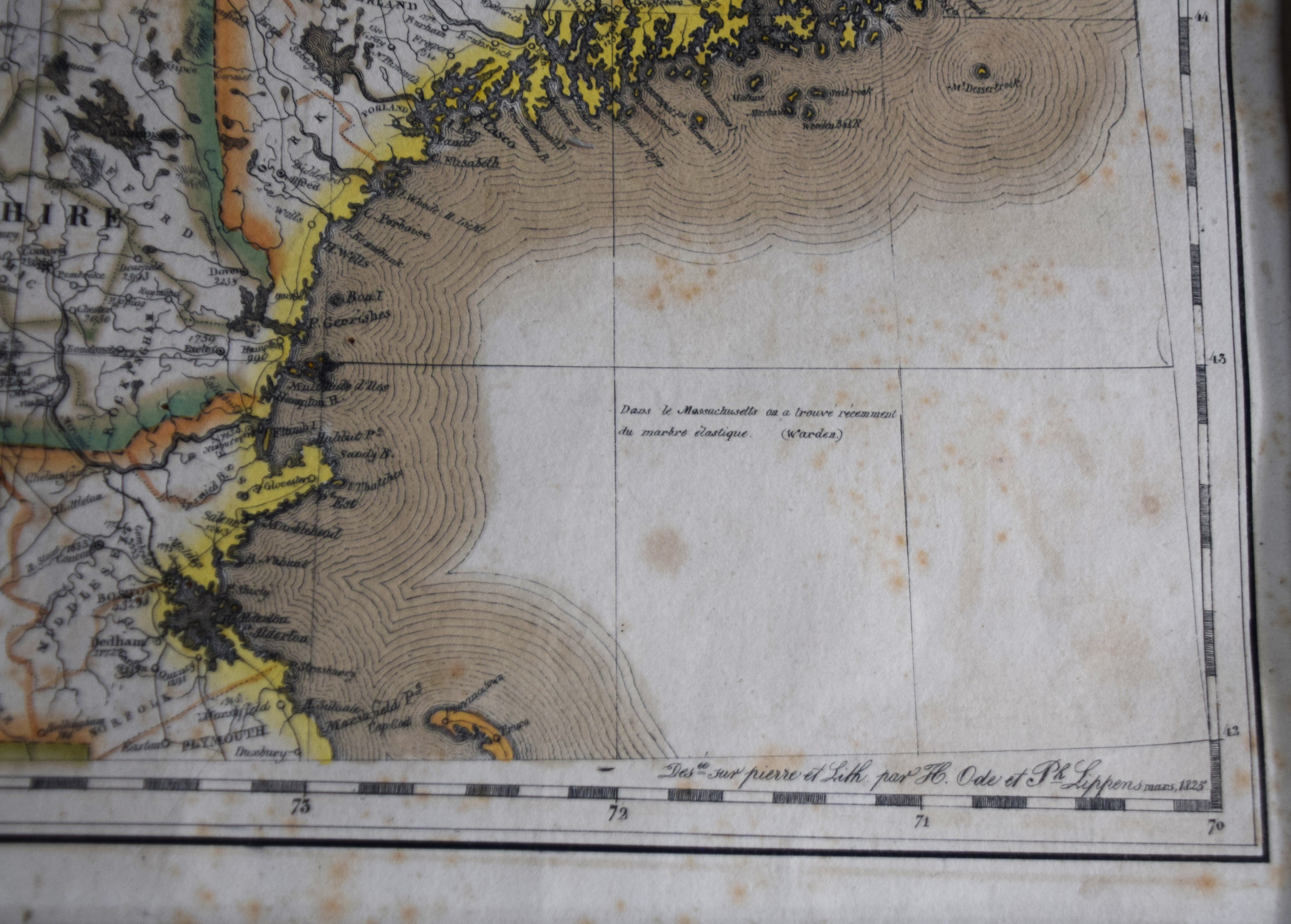
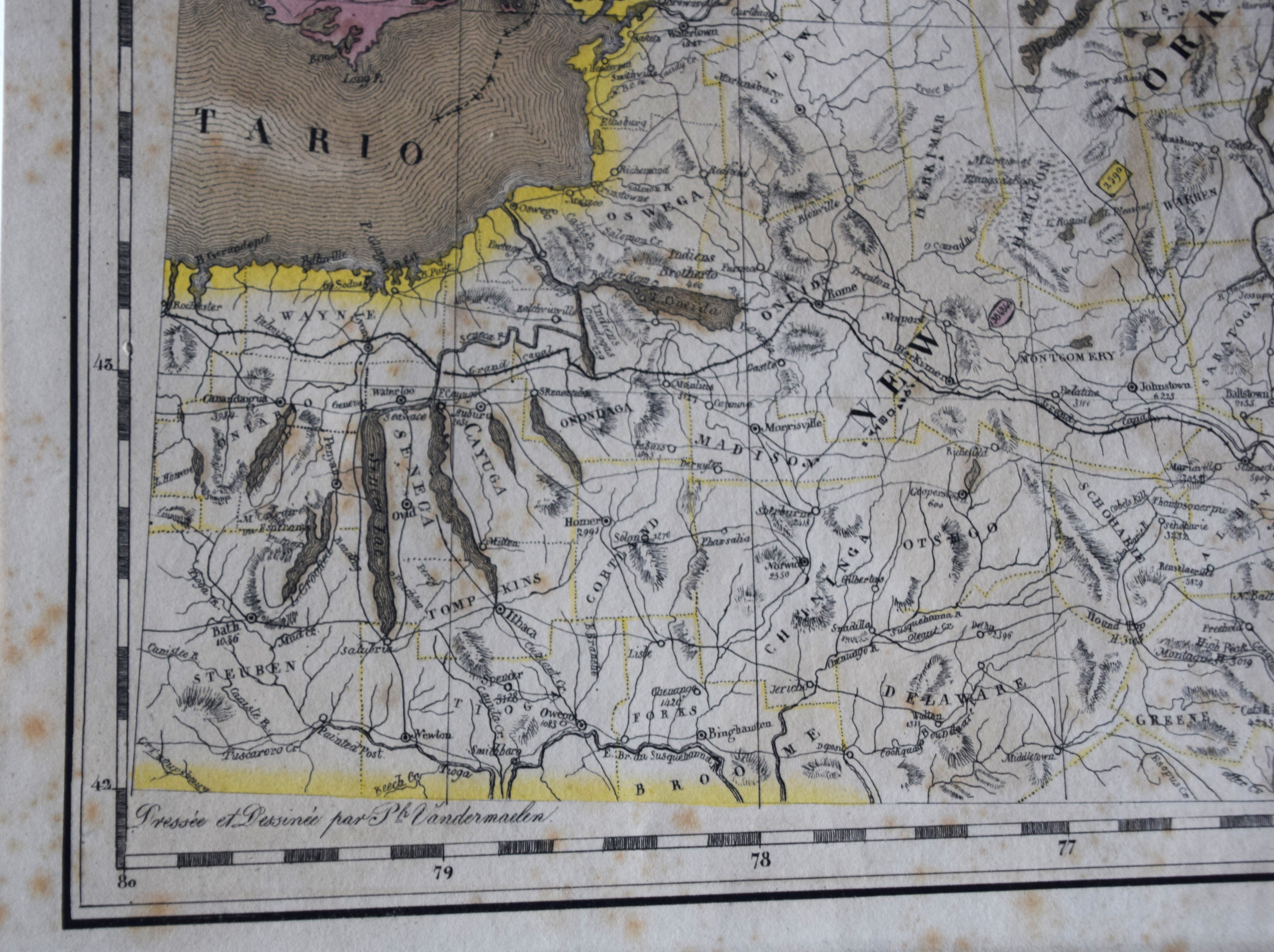
Map of America by Vandermaelen, dated 1825 labeled “Partie Des Etats Unis-No. 45” from volume 4, “Atlas Universal De Geographie”. Map shows New England from Massachusetts northward, upper New York and adjacent Canada to include Montreal and Quebec City. Bold outline color. Philippe Vandermaelen published one of the most remarkable world atlases ever made: a world atlas with 400 maps on a uniform scale of ca. 1:1,6 million. This work, which appeared in 1825, was far ahead of his time. Dimensions: 19″ x 21″
Condition report:
Good condition, some minor foxing/stains
Share this lot: